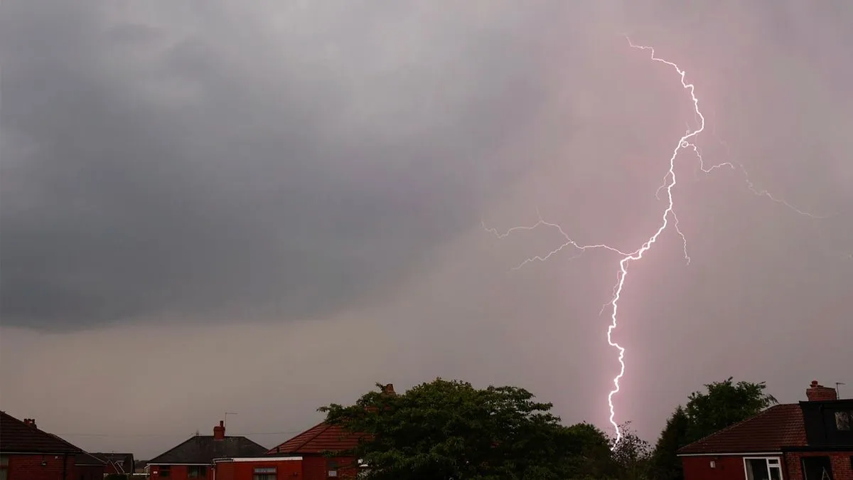
Thunderstorms are set to disrupt the Bank Holiday weekend across 22 counties in the UK, following a period of warm weather. The Met Office predicts heavy showers and hail as conditions shift dramatically.
As of early Tuesday, forecasts indicated that thunderstorms would affect southern England and Wales around 7 PM. The weather mapping service Ventusky confirmed these predictions.
Temperatures peaked at 26 degrees Celsius earlier in the week, creating a humid atmosphere. However, a wet start is expected for many parts of England and Wales.
The Met Office issued warnings advising people to avoid using landlines during thunderstorms due to lightning risks. They emphasized that thunder and hail could occur in various regions.
Key details:
- 22 counties are forecasted to face thunderstorms.
- The weather will be wet across northeast England and southern Scotland at the start of the day.
- Predicted highs range from 17 to 19 degrees Celsius in the south, with lows dropping to 9 or 10 degrees overnight.
Mark Sidaway, a Met Office deputy chief forecaster, stated that conditions would remain changeable heading into Monday. He noted lingering clouds and scattered showers across southern and central areas.