The rapid development of El Niño in 2026 is expected to significantly alter weather patterns across the globe. Current projections indicate a trajectory toward Super El Niño status by the second half of the year.
A powerful oceanic Kelvin wave has intensified, effectively ending the multi-year La Niña influence. This shift is crucial as it marks a transition in the ENSO cycle, which impacts global weather patterns.
As of midday, the latest ECMWF and UKMO models show a stronger El Niño signature for Summer 2026 than previously anticipated. The average-to-upper value of forecasts suggests a very high chance for a Super El Niño to develop.
Forecasted impacts include:
- A low-pressure area over eastern Canada and the northeastern United States during Summer 2026.
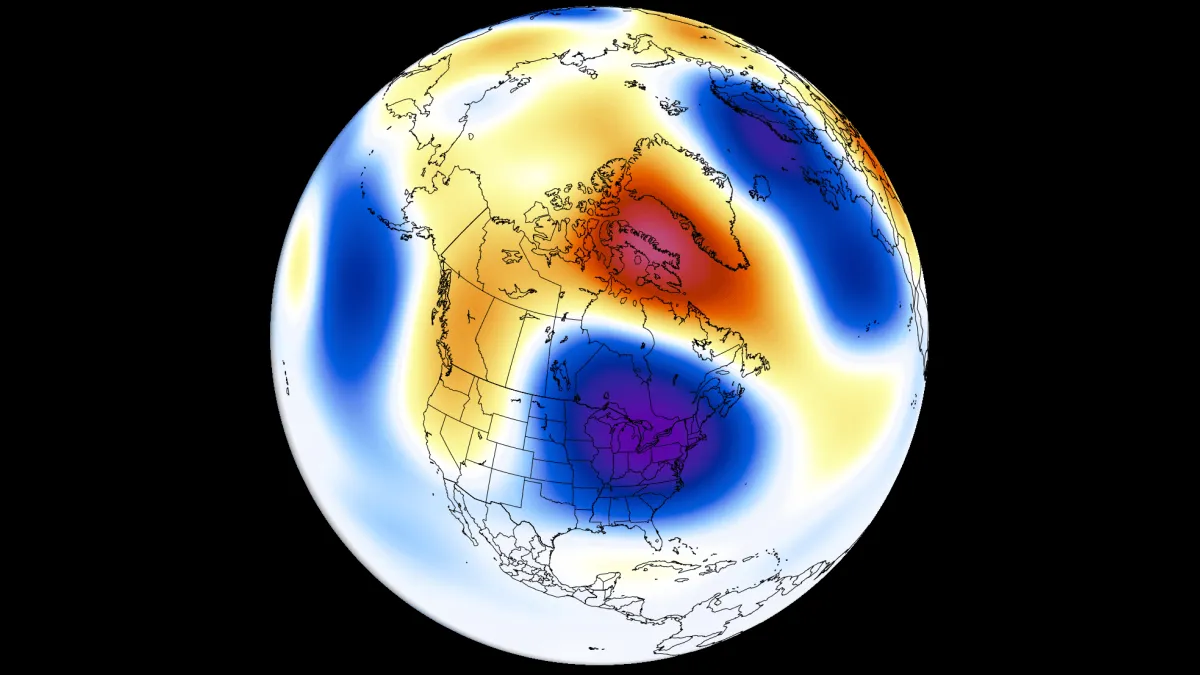
- Above-normal temperatures across the northwestern United States and western Canada.
- Increased rainfall over the western, central, and northeastern United States, as well as the Midwest and southeastern Canada.
- Less precipitation expected in the far southern United States and across southern and central Canada.
These developments could lead to significant disruptions in agriculture and water supply. However, officials have not confirmed specific regional impacts yet.
The full extent of these changes will depend on how quickly conditions evolve. The global community watches closely as these forecasts unfold.